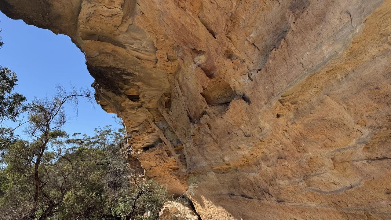
Under a canopy of gumtrees deep inside rugged mountains lies a trail of ancient Aboriginal rock shelters, with stone tools and red hand prints revealing stories of the oldest continuous living culture in the world.
Australian archaeologists have used drone and laser technology to map dense bushland in the NSW Blue Mountains, confirming the existence of six registered shelters and three previously unlisted sites.
Researchers used drone-based LiDARs, which flew over the vast, rugged landscape and used laser pulses to create 3D maps of areas too difficult to access on foot.
Working with the Dharug Custodian Aboriginal Corporation, archaeologists from the University of Sydney and the Australian Museum then went into the bush to get a rare glimpse of the shelters and uncover artefacts.
Wayne Brennan, a Gomeroi man and archaeologist from the University of Sydney, led a team of students and volunteers to the sites to record observations of rock art, including red hand outlines.
"We could see stone tools ... on the surface, so we know people have stayed there, fabricated stone tools, leaving some things there, taking things away," Mr Brennan told AAP.
"That's part of a chain, a connection between other sites; no site is really in isolation."
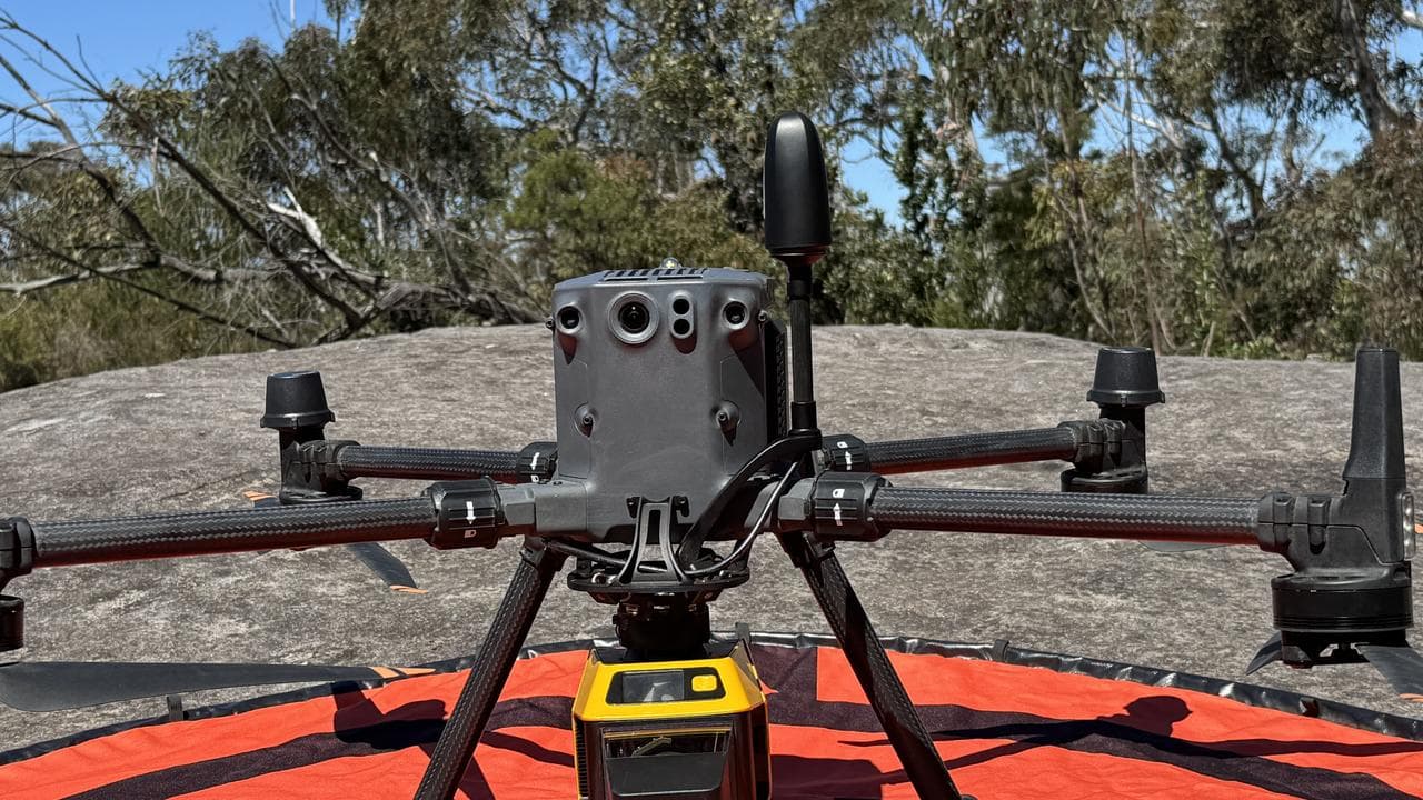
The work is part of the university's Gulamada Project, which is built on the principle of walking side-by-side and combining scientific and cultural knowledge to bolster conservation.
Mr Brennan said the three unregistered shelters were previously known to researchers after being spotted by skilled bushwalkers, but the technology confirmed their existence.
The project involved deep collaboration and understanding between researchers and Aboriginal people, he said.
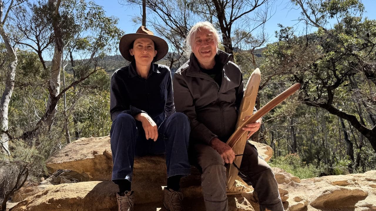
"It brings science and culture together," Mr Brennan said.
"Aboriginal people are getting training from this and they're getting to have a stake, not just a discussion or being consulted.
"They're actually driving the research that we're doing."
Jacob Bongers, a digital archaeologist who led the drone-based research, said the technology was an efficient way to survey rugged areas, which were usually too expensive or difficult to explore.
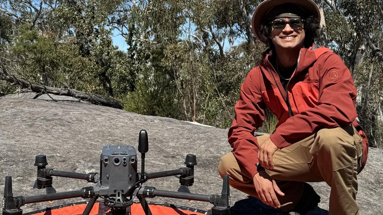
It's believed only 10 per cent of the Blue Mountains UNESCO site has been surveyed due to the challenging terrain, with more than 200 known rock shelters.
"Our methodology is helping expand the record of Aboriginal cultural sites in the Blue Mountains and has the potential to be applied in other regions," Dr Bongers said.
The research, published in the scientific journal Remote Sensing, said data collected with drones and lasers could help communities, scientists and cultural heritage projects.
The work has also produced accurate coordinates for the sites, improving data in the official NSW Aboriginal sites heritage register, the researchers said.


