Homes and businesses have been flooded in a major town as hundreds of people are airlifted to safety and residents are warned of crocodiles infesting rising waters.
The levee in the Northern Territory town of Katherine was topped by floodwaters that submerged the main street, entered shops and surrounding homes and forced power to be shut off to many properties.
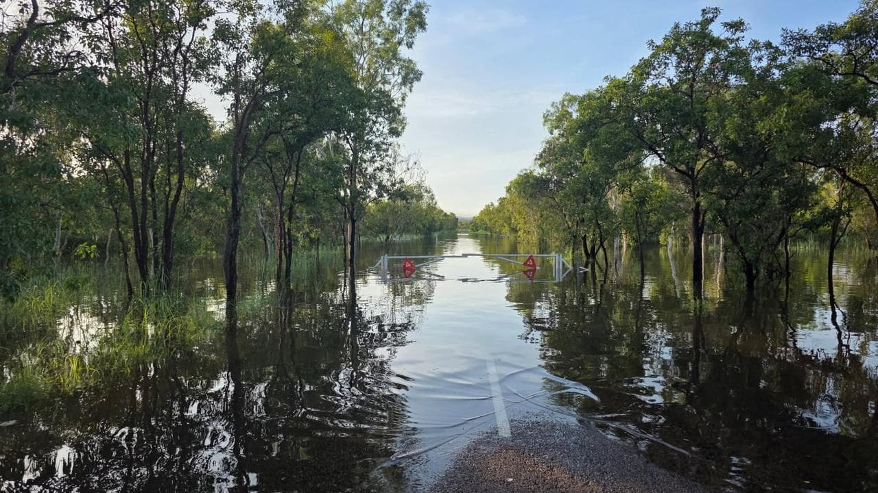
The Katherine River peaked at the town bridge at a height of 19.2 metres late on Saturday, although the water had since started to recede, Bureau of Meteorology senior officer Jude Scott said on Sunday.
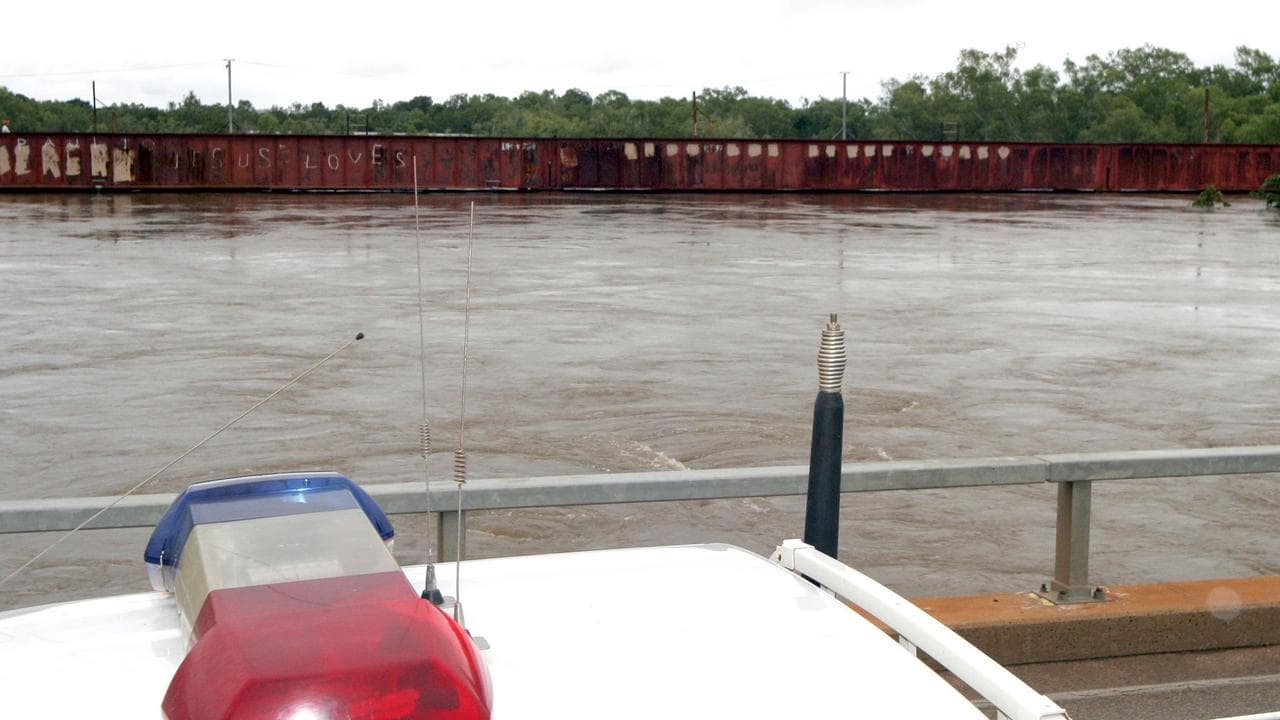
It marked the highest flood level for the town of about 6000 people in at least 20 years.
The Daly River, south of Darwin, had also passed the major flood level and would continue to rise during the next week.
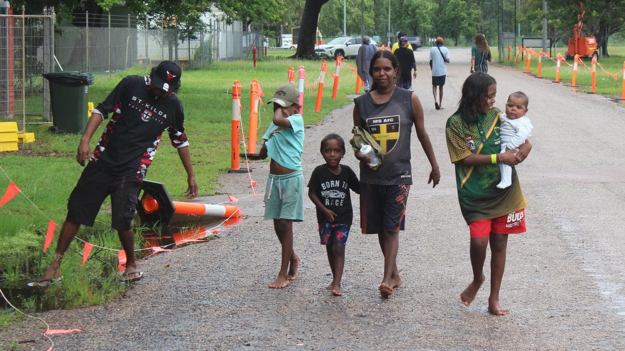
Hundreds of people from the Daly River community have been airlifted to Darwin to be housed in a pavilion at the showgrounds.
It is the second time they have stayed there after flooding forced their evacuation in early February.
The flooding is worse this time around, with more damage to homes and community services expected.
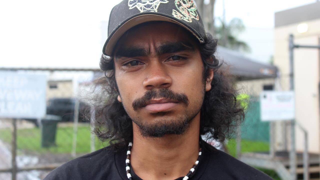
One evacuee, Peter Sambono, said he was worried about water going through his home after it escaped major damage in the last deluge.
"This time it will go up higher," the 19-year-old told AAP, adding he was concerned about a puppy he had to leave behind in the house.
Incident controller Shaun Gill from NT Police said 18 helicopters and six fixed-wing aircraft evacuated hundreds of people from Daly River and the remote Indigenous community of Palumpa.
About 1000 people are sheltering in evacuation centres in Darwin, Katherine and Mataranka.
Another helicopter operation on Sunday flew 80 people out of Daly River after they were unable to leave on Saturday due to the heavy weather.
Katherine mayor Joanna Holden said "everybody has a story about somebody helping them out", but there was still some anxiety among residents.
"For some people, this is their third flood," she said.
"They know what is on the other side of this and what it looks like, so for them it's a very emotional time.
"I think we're going to have quite a few people that are going to need a fair bit of support, not just financially but also emotionally."
The next 72 hours would be critical with more rain forecast, Ms Holden said.
The water was receding quickly along the main street but many homes had been inundated, with some in low-lying areas almost submerged, she said.
Emergency authorities are working to ensure food and other essentials are available for Katherine residents as flooded roads cut the town off.
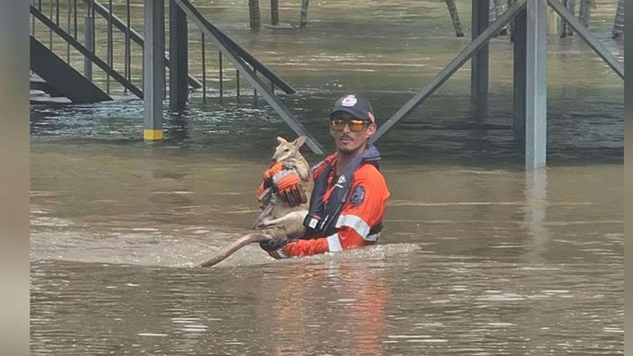
There were crocodiles throughout the region's waterways and people were urged not to enter the water, Mr Gill said.
NT Police Acting Commissioner Travis Wurst criticised a man who "for reasons only known to himself" entered the river at Beswick, east of Katherine, forcing police and community members to risk their lives to rescue him as he clung to a branch.
Affected residents will be eligible for disaster-assistance payments and grants for white goods, bedding and other essentials lost to flooding.
Multiple minor to moderate flood warnings are also in place across much of Queensland, with the bureau forecasting moderate to heavy rainfall in the state's north, centre and southeast.
Rapid river rises and localised flooding were possible in areas of heavy rainfall and transport routes could be disrupted, the bureau said.


